

Phuket’s west coast makes the effect of seasonal wind easy to notice, but choosing a boat day requires more than matching a month to a side of the island. An open beach, a bay and an offshore passage can present different conditions. The useful question is how the current forecast affects the proposed trip, rather than which coast wins a permanent comparison.
For visitors, this matters when a beach holiday and a private charter sit in the same itinerary. A view from your accommodation is only a view of that location. It cannot establish conditions along a route elsewhere. Understanding exposure helps you ask better questions, while the captain and crew assess the practical options for the actual day.
Quick Answer
- Seasonal winds affect exposed water differently from sheltered settings; neither coast is always calm.
- Beach warning flags and marine forecasts answer different questions and both need attention.
- Phuket Charter departs from Chalong Bay; the captain assesses suitable routes and anchorages for the day.
West coast exposure and the seasonal pattern
Thailand’s seasonal guidance describes the southwest monsoon broadly from mid-May to mid-October and the northeast monsoon from mid-October to mid-February. Those are broad patterns with variable transitions. The TMD Phuket climate normals also record prevailing westerly winds through May to October, followed by northeasterly winds in November and December. Monthly normals describe past climate, not a forecast for a particular outing.
The west coast faces the seasonal westerly direction more directly than a protected inlet might. That helps explain why a beach can look very different across the year. It does not mean that every east-side location is sheltered from every wind, or that an east-side departure removes exposure during the rest of a journey. Read the seasonal yacht guide as background before checking current conditions.
West coast beach conditions are local
The Tourism Authority of Thailand’s description of Karon Beach warns about serious undertows during May to October and advises attention to warning flags. That is a specific reminder about entering the water at a beach. It should not be turned into a statement that every beach has identical conditions or that an offshore anchorage follows the same pattern.
If your accommodation is on the west coast, a rough-looking beach may be the most obvious information you see. Take the local warning seriously for that location, then ask the charter team about the actual booking rather than reaching a separate conclusion about the whole coastline. Equally, a beach that looks attractive cannot provide clearance for swimming. Follow the flags and instructions where you are.

Shelter depends on direction and the place
Think of shelter as a relationship between the weather and a location. A headland or bay may offer protection from one direction while remaining exposed to another. The approach to that location also matters. A photograph of still water inside a bay does not show the conditions along every passage leading to it, and its capture date may have little to do with your visit.
The distinction is useful when comparing a west coast view with a proposed east-side boat day. Avoid substituting a reassuring label for an assessment. Ask how the current wind and wave forecast relates to the route and whether alternatives are being considered. The crew’s local knowledge helps turn broad geographical context into a practical discussion; a visitor’s coast-by-coast comparison cannot do that alone.
| Information | What it helps explain | What it cannot establish |
|---|---|---|
| Seasonal wind pattern | The broad background to exposure | Conditions on your booking date |
| Beach warning flags | Instructions for the location displaying them | Suitability of a separate offshore route |
| Marine forecast | Expected wind, waves and warnings for its area and period | A universal passenger comfort level |
| Captain’s route assessment | Practical choices for the proposed day | A guarantee that conditions cannot change |
Check the forecast area and valid period
Use the Thai Meteorological Department’s shipping forecast for current marine information. Look at the issue time, the period covered and the relevant sea area before reading the wind and wave details. A general weather icon for Phuket is not the same as the marine forecast for the waters involved in a trip. An old screenshot can also appear current when it is no longer valid.
For a west coast stay followed by a charter elsewhere, keep both pieces of information in their proper place. Your local beach conditions matter for the beach; the relevant marine forecast informs the wider discussion. Our wind and waves guide explains the questions visitors can ask without setting a private go-or-no-go threshold for Ruangsri.

Chalong Bay is the departure area
Phuket Charter departs from Chalong Bay. The booking team should confirm the exact meeting instructions rather than leaving guests to navigate to a general area label. That departure information is separate from a promise about which islands the yacht will reach. A start point tells you where the arrangement begins, not whether every possible route is appropriate in every season.
Moving from a hotel on the west coast to a Chalong Bay meeting place also involves a separate transport arrangement. Share the confirmed instructions with the transport provider and avoid building the day around an unverified drive time. When you enquire, explain any fixed commitments before or after the charter so the proposal can be discussed with those constraints in mind.
Let the route follow conditions
A private booking lets the team discuss the kind of day your group wants. It does not remove weather, local rules or the need for the captain’s assessment. Suitable anchorages, activities and time ashore depend on the circumstances. The island-hopping guide can introduce options, but named destinations should remain subjects for a booking discussion rather than guaranteed stops.
If the west coast is experiencing a seasonal change, explain your priorities in terms of the experience: time together, scenery or a relaxed day aboard. Let the crew explain the practical possibilities. Avoid demanding a route solely because it appeared in another guest’s photographs. A thoughtful alternative can fit the group’s purpose without pretending that the original location has become suitable because it is important to the itinerary.
Keep swimming and comfort questions separate
The question of whether to enter the water is different from how a passenger might feel during a passage. Neither can be answered by the words east coast or west coast alone. Tell the team about individual concerns and ask about the proposed day. Read the seasickness planning guide for practical questions, without treating it as medical advice or a guarantee of comfort.
For swimming at an island beach, look for the relevant local instructions and follow the crew’s guidance about activities. The beach safety article explains why warning signs matter. A lack of visible flags in an image does not establish suitability. Guests should not use a picturesque shore or calm-looking surface to overrule an instruction at the actual location.
Make the coast comparison useful
The best use of an east-versus-west coast comparison is to understand why plans need flexibility. It gives context to the questions you ask, without making the decision itself. Keep the date, proposed route, forecast and group needs together in the conversation. Those details are much more useful than a general claim that one side of Phuket is always better for boats.
If your holiday includes a west coast beach stay, enjoy that setting on its own terms and check the conditions for each separate activity. Contact Phuket Charter with your date, guest count and priorities. The team can discuss a proposal and confirm the booking details, while the captain retains the assessment of suitable routes and anchorages for the day.
Frequently asked questions
Which coast of Phuket is calmer in the monsoon?
Exposure depends on wind direction, location and the route involved. A sheltered setting may differ from an open west-facing beach, but no coast is always calm or automatically suitable.
Where is Chalong Bay?
Chalong Bay is Phuket Charter’s departure area on Phuket’s southeastern side. Obtain the exact meeting instructions from the team before arranging transport.
What does the southwest monsoon do to the sea?
Seasonal westerly winds can affect exposed water, including the west coast. Check the current marine forecast and local warnings; the seasonal label alone cannot describe your actual day.
Do red flags apply to island beaches?
Follow warning flags and local instructions wherever they are displayed. Do not assume an island beach is suitable for swimming because a mainland beach has different conditions.
Who decides the route on the day?
The captain assesses suitable routes and anchorages using conditions, local knowledge and applicable rules. Discuss preferences with the team while keeping alternatives possible.
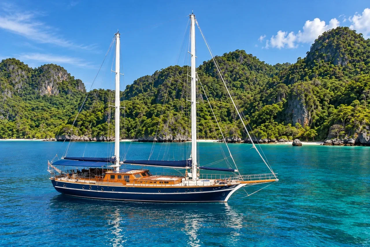
Article imagery is AI-generated for illustration. It does not show the actual Ruangsri yacht, confirmed services, or verified views of specific islands.